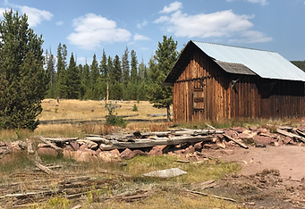
Dyer Mine Loop
TRAIL DETAILS
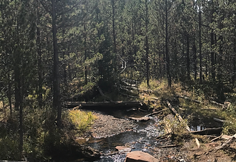
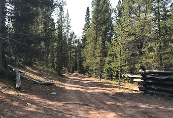
This trail loops around Bassett Springs, Dyer Mine, Iron Springs, Big & Little Brush Creeks. Trail will consist of high elevation forest, two track roads with a mid-point assent up a tight rough boulder covered with mountain trails with steep climbs, multiple stops along the way for sightseeing and scenic overviews. Some low water crossings (usually minor).
*Vegetation may rub on machines
Scenery
Aspen Groves and Pine Forests
Difficulty
Difficulty: 5 with a short steep rocky section of difficulty 6-7.
Trail Length
32 Miles
Time
4 - 5 Hours
Trailering Info
Trailering is Required. Please park in the designated trail staging area at the Western Park Arena. It will take approximately 30 minutes to get to the trail head.
Restroom
Restrooms will be available during the ride at Iron Springs Campground
Downloadable Maps
Outlaw ATV Jamboree All SXS / ATV Trails Map
KML (Google Earth) 2026 Jamboree Trails